From the borehole to the report: the entire environmental liability, traced by depth
Investigation and remediation of liabilities with depth-based sampling and a stratified profile. Soil and groundwater with BTEX and PAH, compared against guideline values by land-use scenario. Gerencialab records every depth in the field, controls the chain of custody and evaluates the result against the reference you register.
Who it is for
Anyone investigating environmental liabilities knows that analyzing the sample is half the job. The other half is proving where it came from, from which depth, and against which value it was compared. Gerencialab is built for labs working soil and groundwater end to end, from the borehole to the report the agency will demand.
Fuel stations investigated without losing the trail.
BTEX and TPH in soil and groundwater, each sample tied to the borehole point and the exact depth. When the agency asks where the result came from, the answer is in the system.
Industrial sites with historical liabilities under control.
Metals, PAH and organics evaluated by matrix, with the stratified profile recorded in the field. You deliver the investigation with nothing improvised when the inspection comes.
Environmental consultancies that repeat monitoring campaigns.
Monitoring wells with recurring sampling already tied to the job. The next round starts on the right date, with no schedule to rebuild every time.
Remediation tracked by the contaminant curve.
Each monitoring campaign records the same point over time, so you can see whether the plume is receding or not, without piling up loose spreadsheets.
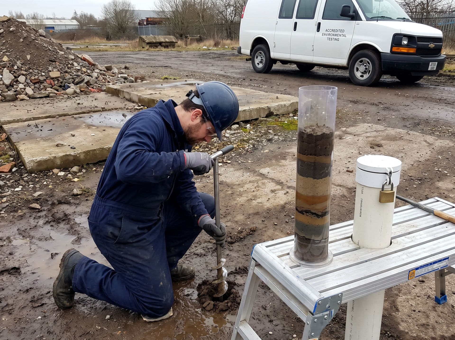
Every borehole comes in at the right depth, even with no signal.
The sampler heads out with the route in hand and records point, depth and stratified profile on the phone offline. The sample stays bound to the chain of custody from the borehole to the report.
- Depth-based sampling recorded at the point
- Offline app with GPS, syncs when the signal returns
- Chain of custody preserved from field to report
Guideline values inside the system
Your technician stops chasing tables in a PDF and keeping a side spreadsheet. You register the guideline values you use — those of CONAMA 420/2009 and the CETESB guideline values — and Gerencialab compares every result against the right reference at the moment of entry. And because the same result means something different by scenario, you register by land-use scenario. The final call stays with your technical manager.
CONAMA 420/2009 registered as a soil reference.
CONAMA Resolution 420/2009 sets the soil quality guideline values, with prevention and investigation levels. Register these values once and every soil sample comes back compared against them.
CETESB guideline values for your state.
The CETESB guideline values are the practical reference for soil and groundwater across much of the country. Register the list you use and the system applies it in the automatic evaluation.
The same result, compared by land-use scenario.
Agricultural, residential and industrial have different values for the same analyte. Register by scenario and the result is compared against the value for the point's correct scenario, with no swapping the reference by hand.
Soil and groundwater, each matrix on its own rule.
Soil has one set of values, groundwater has another. Each sample pulls the reference of the right matrix on its own, with no mixing of tables.
The pain of investigating liabilities
You know these points better than anyone. The system was designed around each one to take the weight off your day.
Sample depth cannot get lost in the field notebook.
Borings and monitoring wells deliver samples by depth. The sampler records depth, point condition and the stratified profile in a dynamic form, and the data stays bound to the sample from the borehole to the report.
A chain of custody that cannot have a gap.
On a contaminated site, a break in the chain of custody sinks the report. Each sample carries who collected, who received, who analyzed and when, with traceability from proposal to report.
The same analyte means something different by scenario.
Benzene in the residential scenario is not evaluated against the same value as the industrial one. Mixing scenarios produces a wrong report. Register by scenario and the system applies the correct one to each point.
Groundwater collected far from any signal.
Monitoring wells are rarely where there is internet. The sampler records point, water-level depth, photos and data on the phone offline and syncs when back online. Nothing is lost along the way.
How Gerencialab solves it
From the borehole to the report, with no rework in between.
The result tells you on the spot if it passed the guideline value.
On entry, each analyte is compared against the guideline value for the scenario and matrix of that point, and anything above it is flagged right away. Less manual table checking, fewer reading errors.
Every depth at the point is recorded properly.
Register the points and use dynamic forms to note depth, stratified profile, point condition and field observations, with a full history of everything entered.
Sampling happens even with no internet at the point.
The app works offline, records point with GPS, depth, photos and field data, and syncs later. Planned routes, registered points and route notifications, including by WhatsApp for the sampler.
The chain of custody stays closed, with no gap.
The system tracks the sample from collection and keeps who did what and when. Each container enters with a barcode or QR label and stays traced from intake to disposal.
Your report comes out with the lab's identity, signed.
Configurable template with your header and footer, variables filled on their own, signature on the document and PDF generated on the spot. Each template version is controlled.
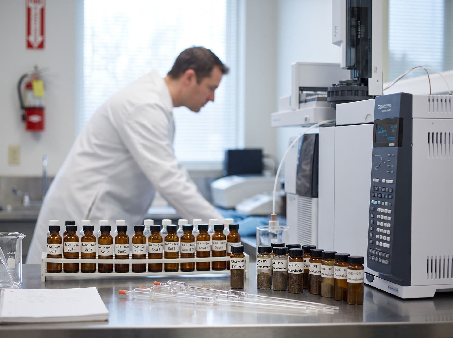
Every result checked against the reference you register.
Soil and groundwater come in with method and parameters by matrix. Each analyte is compared against the guideline value for the land-use scenario, and anything above it comes out flagged on the report.
- CONAMA 420 and CETESB guideline values registered by the lab
- Automatic comparison by land-use scenario at the moment of entry
- The technical manager signs the report; ISO/IEC 17025 with an ALCOA+ trail
Modules that matter most for contaminated sites
Everything in one system, no hidden add-ons.
Depth-based sampling.
The highlight for anyone investigating liabilities: your sampler heads out with route and schedule in hand and records point, depth, stratified profile and point condition in the offline app with GPS, even at a borehole with no signal.
Samples and Chain of Custody.
Each container enters with a barcode or QR label and stays traced from intake to disposal, with custody recorded at every step. Nothing is lost along the way.
Laboratory and Analyses.
Method and parameters ready by matrix for BTEX, PAH, metals and TPH, the result reviewed before it leaves, and import from instruments and spreadsheets so no reading is retyped.
Quality Control.
QC aligned with ISO/IEC 17025, with reference materials and control evaluation, so you reach the audit with everything in place.
Reports and Templates.
Your report comes out in a configurable template, signed and as a PDF, with version control. Every document leaves standardized.
Finance.
Proposal, work order and billing tied to the investigation job, so you bill the campaign without building finance in a separate system.
Frequently asked questions
Does Gerencialab come with CONAMA 420 and the CETESB values preloaded?
The system has a guideline-values registry where you record the analytes and values by land-use scenario and use them for automatic result evaluation. The value database is maintained by your lab, which is responsible for accreditation. During onboarding we help you build that registry from CONAMA 420/2009 and the CETESB guideline values.
How does the system handle the same result across different land-use scenarios?
You register the guideline values by scenario (agricultural, residential, industrial). Each point is evaluated by the correct scenario, so the same analyte is compared against the right value for that scenario, with no swapping the reference by hand.
Can I record the depth of each sample during collection?
Yes. Collection uses dynamic forms where the sampler records depth, stratified profile, point condition and field observations. The data stays bound to the sample, from the borehole or monitoring well to the report.
How does the chain of custody work?
Each sample carries full traceability: who collected, who received, who analyzed and when, with a barcode or QR label and an audit trail in the ALCOA+ standard. You reconstruct the history of any point when the agency or the audit asks.
Does the system decide whether the site needs remediation?
No. Gerencialab compares the result against the guideline values you register and organizes the data by scenario and depth. The classification of the site and the remediation decision belong to the technical manager or consultant. The system does not replace environmental licensing.
Does it import instrument results?
Yes, through import of results from instruments and spreadsheets. It is not real-time serial interfacing, it is import of the file generated by the instrument or the analyst's spreadsheet.
See Gerencialab running with your contaminated-site investigation routine.
See a free demo and watch the sample come in with depth and scenario recorded, checked against the guideline values you register, sampling happen offline and the report come out signed, with examples from your type of liability.